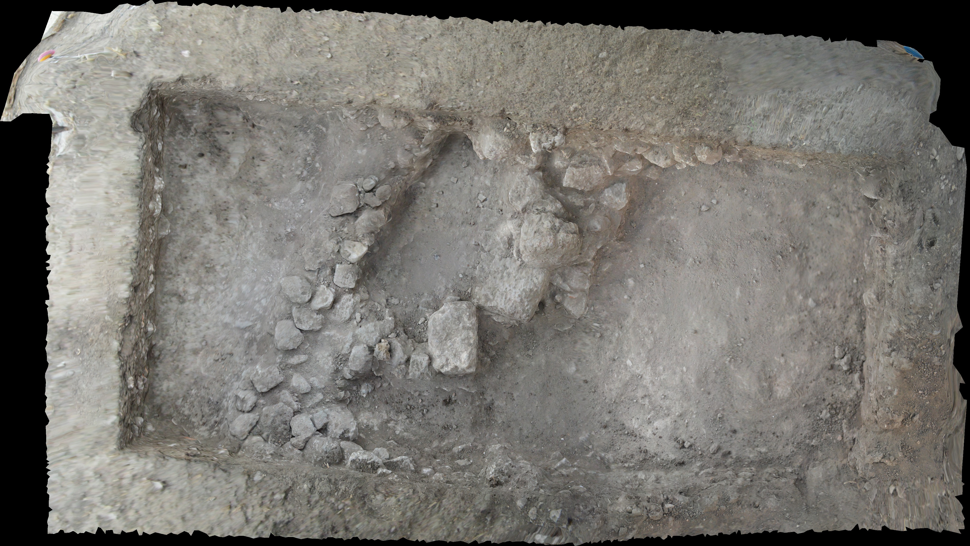
The first time I saw the balloon used for taking images it was teetering on the edge of a table unused. The reason being that the helium filled balloon with a digital camera attached just barely sits above the ground or a table if there is no wind.
On Tel Akko, there is no wind until about 9 or 9:30 in the morning, and so, until then, the balloon cannot be flown.
Another thing about the balloon that I found out, is that the images, which are taken automatically at intervals of 10s of seconds, become useless if there is anything moving below the camera. I got caught on the south side of the tel with the balloon high overhead and had to stand stock still for at least 10 minutes while the balloon moved out of range.
Even so, the images that the balloon can create are truly amazing. An Adobe Acrobat pdf of one of the images can be manipulated using a mouse to see bird’s eye views, slanting views and even a look at the sides of walls and pits.

The 3-D imaging is not just being used for the site mapping, but also for individual unit mapping, helping with the usually tedious drawing of unit or top plans. Because individual rocks, pottery and features can be seen in the 3-D images, the units come alive with a clarity that is never seen in a flat photo or a scale drawing. By tying the 3-D images to actual points on the ground, they can become accurate site plans and unit maps.
